news
3D Building Scanning: Accurate Data for Your Project
Many complications in construction projects do not arise on site, but much earlier — during the preparation phase. When architects, investors or delivery teams work with inaccurate or outdated documentation, it creates room for poor decisions, unnecessary assumptions, project delays and rising additional costs.
This is why the importance of accurately capturing the as-built condition continues to grow. When the project team has access to verifiable data about a building, site or ongoing construction from the very beginning, the need for improvisation in later project phases is significantly reduced. It is not only about the technology itself, but above all about having reliable documentation that can genuinely support design, coordination and construction.
At ABMV, we use mobile 3D scanning as part of our 3D GeoScan service — a practical tool for the digital capture of real-world conditions. This method is suitable for building passportisation, reconstruction projects, new developments, earthworks and as-built documentation. Working with objective and verifiable data helps reduce errors and limit the risk of additional costs during both design and construction.
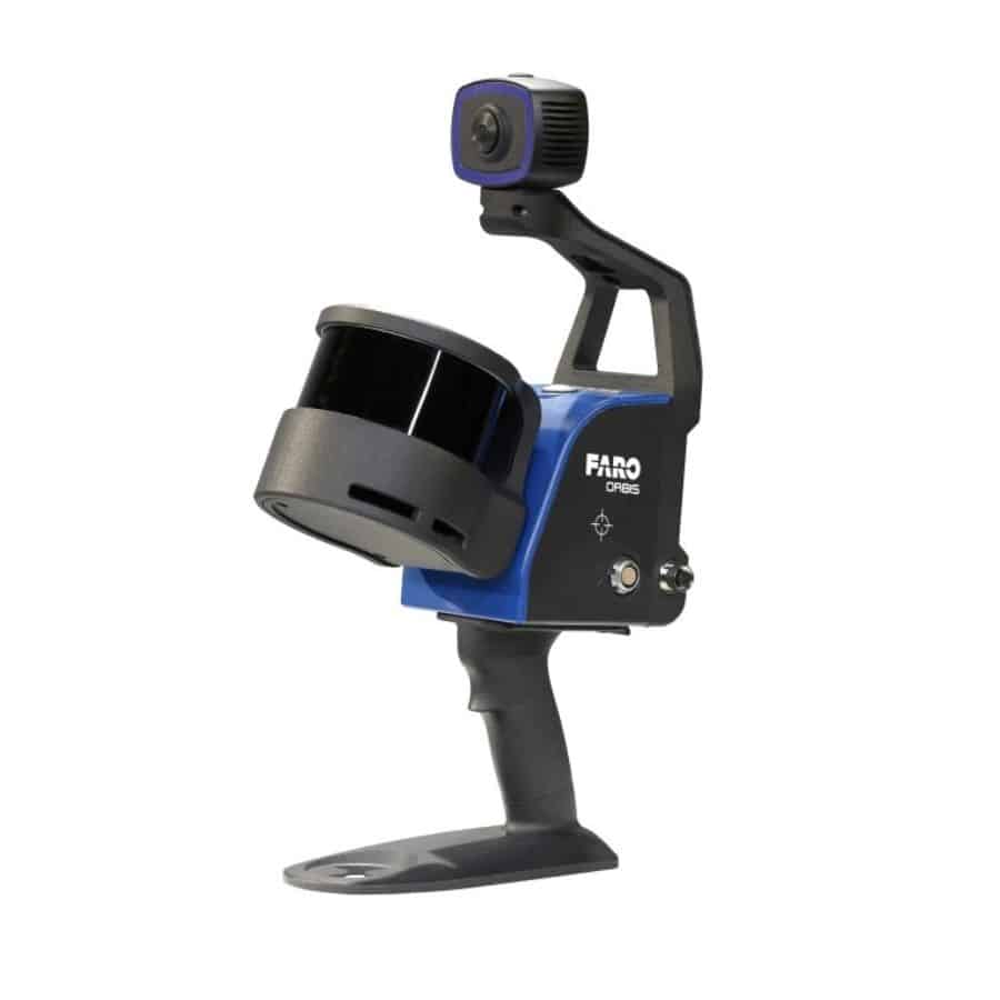
For scanning, we use FARO Orbis technology by 3GON. This mobile device enables fast scanning of interiors, exteriors and terrain. In practice, it proves especially useful for surveying existing buildings before reconstruction, monitoring earthworks, checking construction progress or comparing the actual condition with the proposed 3D model. Based on our experience, scan outputs achieve accuracy of up to 1 cm and are also suitable for control measurements and BIM models.
The result of 3D scanning is a point cloud — an accurate digital record of the actual condition of a building or site. At ABMV, we further process this data and prepare it for practical use by the follow-up professions involved in the project. The workflow also includes outputs for CAD and BIM.
One of the key advantages of 3D building scanning is that its value does not end with a single survey. Scan data can be used throughout the entire lifecycle of a building — from design and coordination through construction to facility management, reconstruction planning or as-built verification.
For us, the digital capture of reality is therefore not just an additional technology, but a meaningful part of modern design, coordination and construction management. If a project has accurate data on the actual condition from the very beginning, the entire process becomes clearer, easier to coordinate and significantly more resilient to errors that would otherwise only become apparent later — usually at a much higher cost.