news
3D Scanning of a Spa Resort Complex – 3D GeoScan
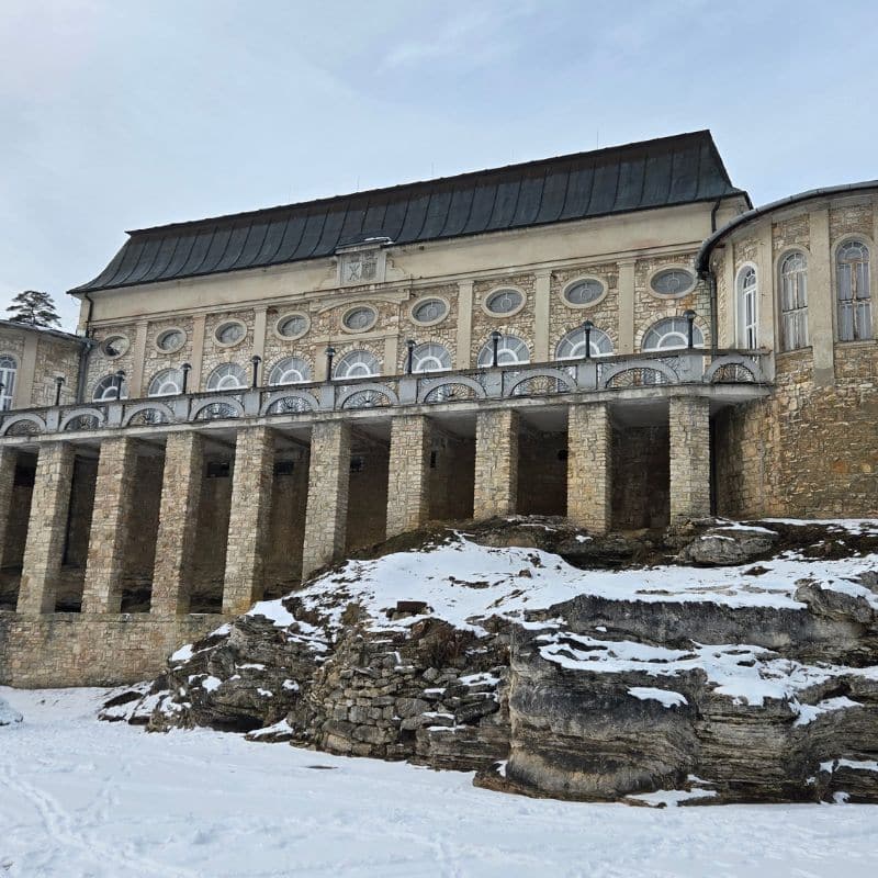
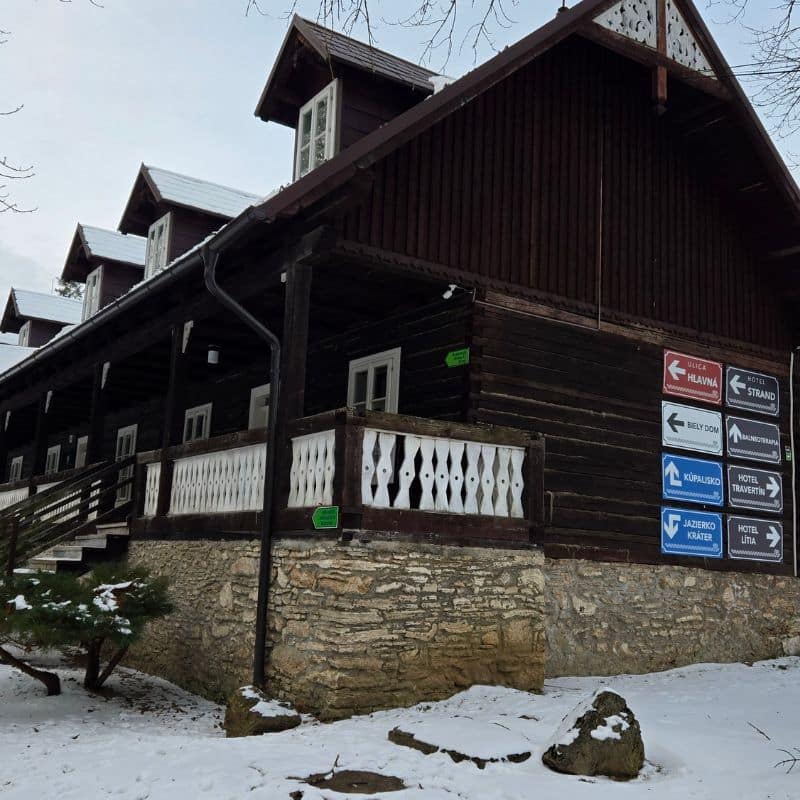
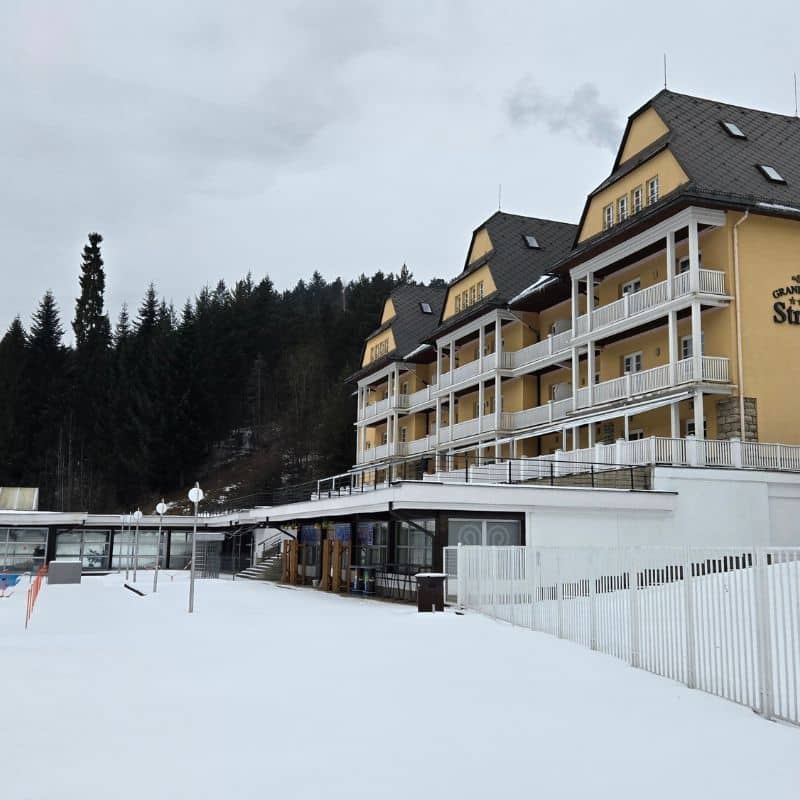
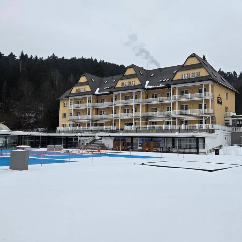
From day one, we saw investing in 3D scanning technology as a strategic step—one that significantly accelerates project preparation and reduces delivery risks. Our first project confirmed it immediately: we deployed 3D GeoScan at the very start of a revitalisation project for a large 15-hectare spa resort complex. Our first project confirmed it immediately: we deployed 3D GeoScan at the very start of a revitalisation project for a large 15-hectare spa resort complex. The site involves a high number of buildings, different structural systems, and often ambiguous or incomplete background documentation.
Why 3D scanning is essential for revitalisation projects
Revitalising and refurbishing older buildings is often a form of “detective work”. Original documentation is frequently incomplete, outdated, or has diverged from reality over time. Any inaccuracy in the survey then multiplies in later phases—not only in design and multidisciplinary coordination, but also on site.
3D scanning solves this by ensuring the project team works with verified existing conditions, not estimates.
What 3D GeoScan delivers
Through the scanning, we obtained survey data with accuracy of up to 1 cm, which can be used as a reliable basis for subsequent project steps. This has a direct impact on preparation speed, design quality, and the construction budget:
- Accurate data for design and coordination: architects, designers, and specialist disciplines all work from one shared “source” measurement.
- Fewer clashes and changes during delivery: the more accurate the inputs at the start, the fewer surprises during demolition, connections, and coordination.
- Time and cost savings: reduces repeat surveys, extra works caused by unknown conditions, and changes triggered by inaccuracies.
A digital snapshot of reality to support better decisions
Digital reality capture delivers long-term value—not only for projects like this, but also for future phasing plans, asset management, as-built records, and further development. 3D GeoScan outputs are not just “measurements”—they are a decision-ready foundation across the asset’s entire lifecycle.