news
Launching 3D GeoScan with FARO Orbis Technology
At ABMV, we continue to push the boundaries of digitalisation in construction. We are pleased to announce that we have expanded our reality-capture capabilities with the advanced FARO Orbis mobile scanner and are officially launching our new service: 3D GeoScan.
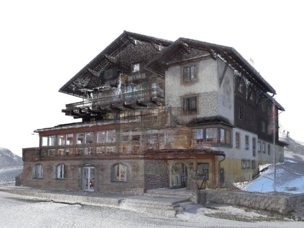
This new service enables precise 3D scanning of buildings and large sites, giving our clients highly accurate data on the actual condition of their projects.
Why is 3D GeoScan important for your projects?
High-quality digital data saves time and cost throughout the entire building lifecycle—from multidisciplinary coordination and change control during construction to final handover and ongoing building operation.
Key applications of 3D GeoScan:
- As-built documentation: Creating accurate as-built documentation and building surveys.
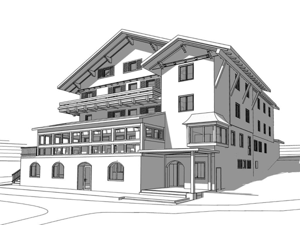
- BIM inputs: Generating highly accurate data for design work and refurbishment projects.
- As-built vs. design verification: Quickly identifying deviations between the construction works and the design documentation.
- Investor reporting: Ongoing digital records of construction progress.
We would like to thank 3GON for supplying the technology and supporting its integration into our service portfolio.
We will soon share our first case study showing how we have successfully applied 3D GeoScan in practice.